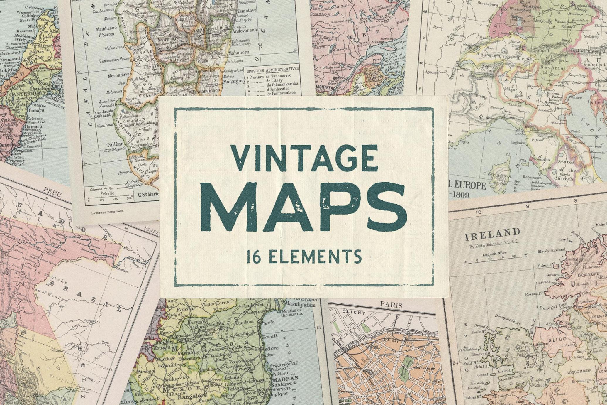
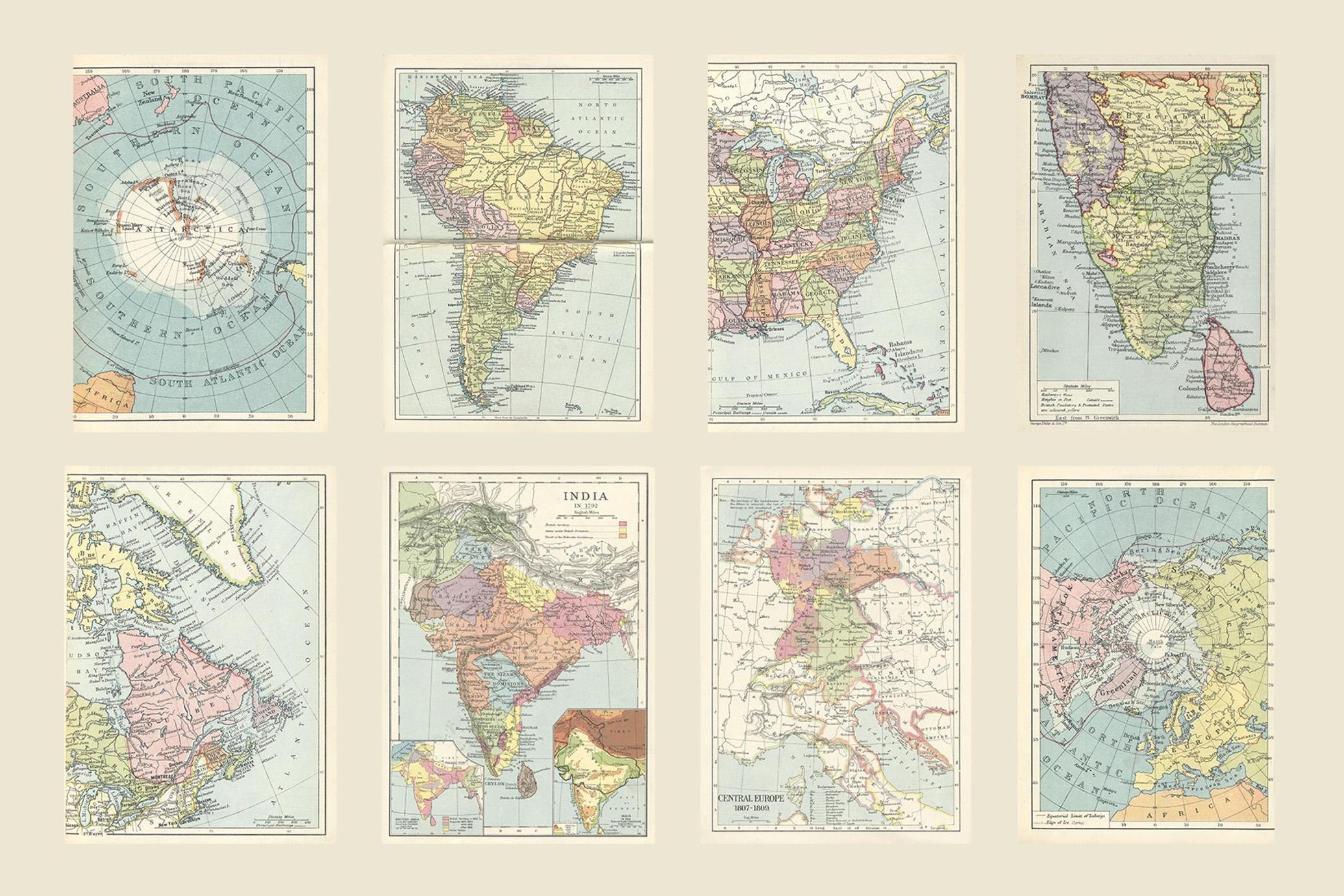
Vintage Maps Collection
About the product
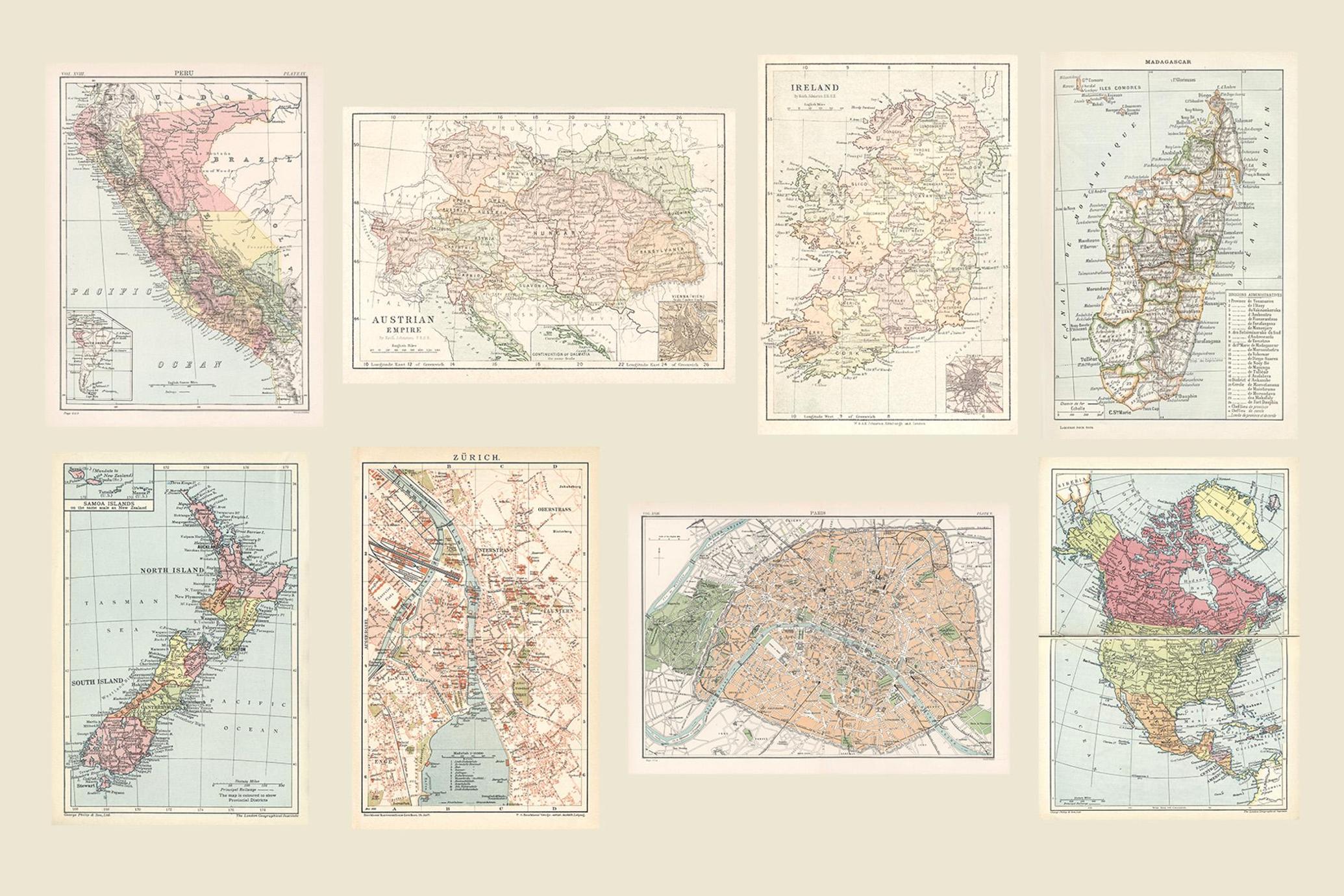
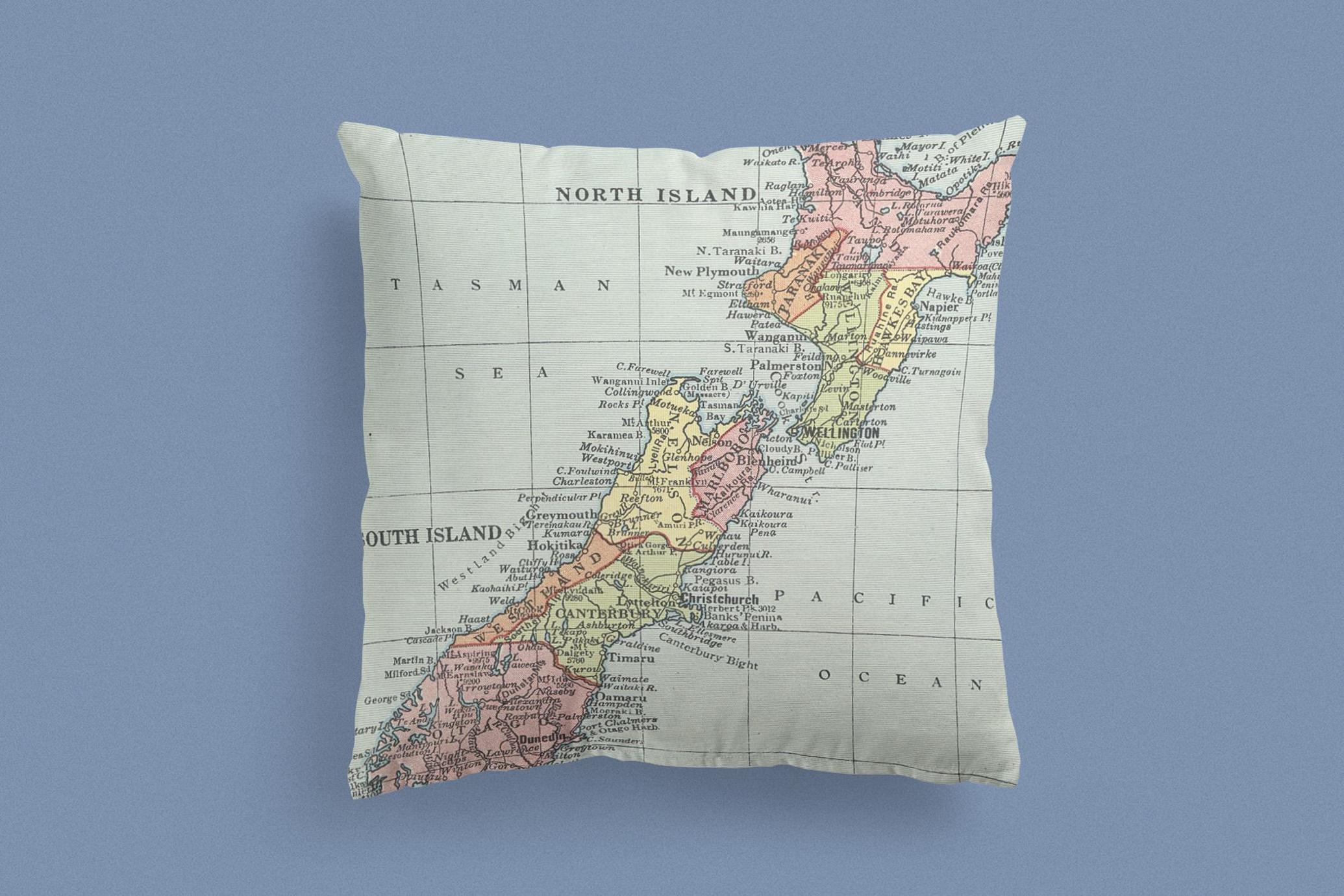
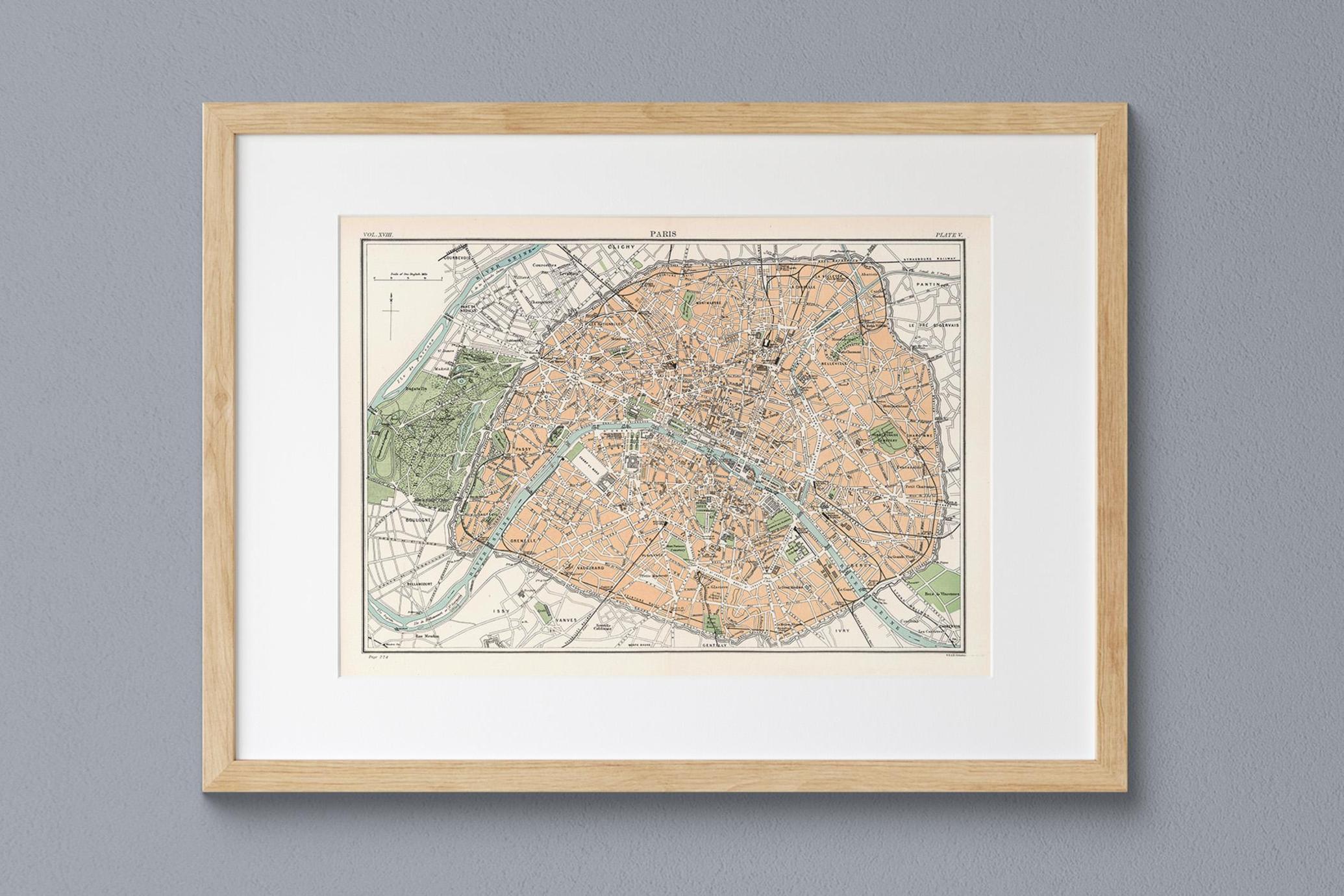
Take a journey through history with this Vintage Maps Collection , featuring 16 beautifully detailed antique maps textures from the 19th and early 20th centuries. Carefully restored and digitized, these historical maps showcase intricate cartographic details, delicate color palettes, and classic typography, making them perfect for a variety of creative projects.
Each map captures a different region of the world, including Europe, North & South America, Asia, Africa, and historical city maps like Paris and Zürich . Whether you’re designing for print, digital media, or home decor , these maps offer a touch of old-world charm and timeless elegance.
Perfect for:
- Vintage-inspired designs
- Digital collage
- Scrapbooking and journaling
- Home decor
- Posters and wall art
- Book covers and editorial design
- Branding and packaging
What’s Included:
- 16 high-resolution JPEG files (300 DPI)
- Large-format images for high-quality printing (up to 7000 px)
- Authentic vintage aesthetic with natural textures and aged details